![#Outernet - maps and navigation [ENG 🇬🇧]](/images/outernet_maps.png)
🇵🇱 Przejdź do polskiej wersji tego wpisu / Go to polish version of this post
Table of contents:
Not long ago in my weekly compilation TDBNews, I wrote about Meta (Facebook), Microsoft, and Amazon planning to release a competitive app for Google Maps and Apple Maps. According to the boasts of these three companies, it is supposed to be the best map and navigation app for mobile devices. However, not many people see it in the way that solutions like these are actually a perfect way for giants like Meta, Microsoft, Amazon, Google, or even Apple to track their users. Out of these mentioned, Apple perhaps cares most about user privacy, or at least pays the most attention to it… Personally, I trust Apple, but I know that there are people who have a completely different opinion, and I understand that. But that’s not what I wanted to discuss here! In this next post from the Outernet series, I will address the topic of what kind of map and navigation solutions to use in order to travel comfortably while also safeguarding one’s privacy.
OpenStreetMap
OpenStreetMap is a community project that was established on August 9, 2004. Its goal is to create, or rather continuously create and improve, a free map of our entire globe. The strength of this initiative lies in the fact that it was born and continues to evolve through the efforts of users, volunteers, or perhaps better put, enthusiasts, which could be me or you. Thanks to this, OSM is offered under a completely open license, meaning take it and do with it as you please. The advantages of OSM include not only detailed maps with a grid of roads and terrain, but above all, an enormous number of Points Of Interest (POI) that are meticulously defined and updated, as befits enthusiasts, and which are difficult to find in such quantity and precision on other maps. Projects like these are pure gold, and I believe that the internet was born for similar ideas. Shortly after its spread, it was commercialized to the extreme, and projects like OSM became nothing more than small dots illuminating this marketing abyss.
Organic Maps
Organic Maps is an application available on both the App Store, Google Play, App Gallery (Huawei) as well as in the F-Droid catalog. It’s a fork (which can be explained as software that was created based on some source code, usually open-source, and is now modified and updated by a new developer as a derivative from the original solution) of the Maps.me application, which I liked and used for quite a while without knowing that it was software acquired by one of the largest Russian corporations (ugh). My adventure with Maps.me ended when one day by complete chance, I wrote about it on Mastodon, and one of the followers (greetings Vitali!) drew my attention to the associations of this application with Mail.ru Group and immediately recommended Organic Maps. Since it’s a fork, transitioning from using one application to using the other can be likened to switching from a green Fiat Seicento to a red Fiat Seicento with tinted windows, because the Organic Maps application is focused on ensuring the maximum privacy of its users. This perfectly illustrates the comparison of the permissions required by Organic Maps (first screenshot) in comparison to Maps.me (second screenshot).
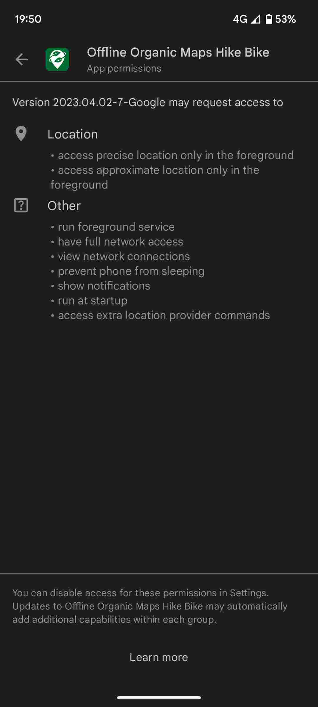
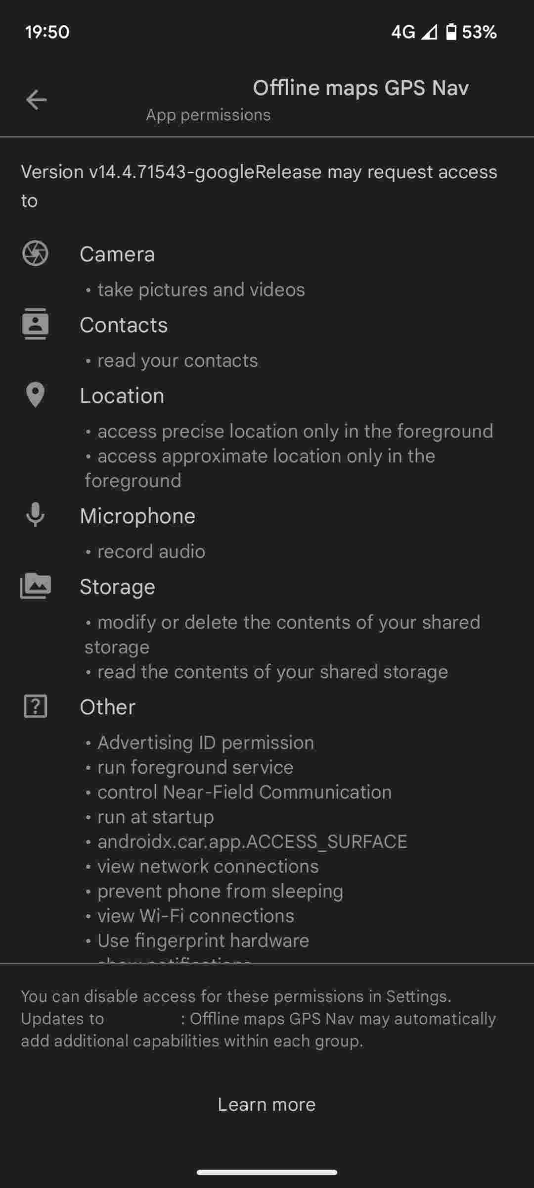
I recommend paying attention and considering why map apps need access to things like: camera, microphone, contacts, device storage, NFC, WiFi connection history, Advertising ID (an identifier like for cattle, but used for personalized ads), or biometric hardware… Such permissions are required by Maps.me, when an app that looks the same and performs the same task only needs basic permissions related to its usage (location, background activity, screen lock prevention, notifications display, or starting on phone boot).
Alright, I think I’ve criticized Maps.me enough, so let’s move on to the part where I will argue why Organic Maps is the best map and navigation app I know. As you probably suspect, it utilizes the aforementioned OpenStreetMap, a powerful world map database. In addition, it has a convenient and intuitive interface, and the ability to download maps for offline use, so they can be accessed without an Internet connection, for example, in the middle of nowhere. What more could you want?! I have one thing in mind - the feature of community-based road event reporting or even information about speed control patrols, just like in the popular app Yanosik, which is known for this functionality.
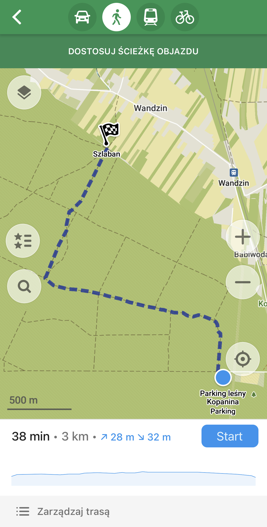
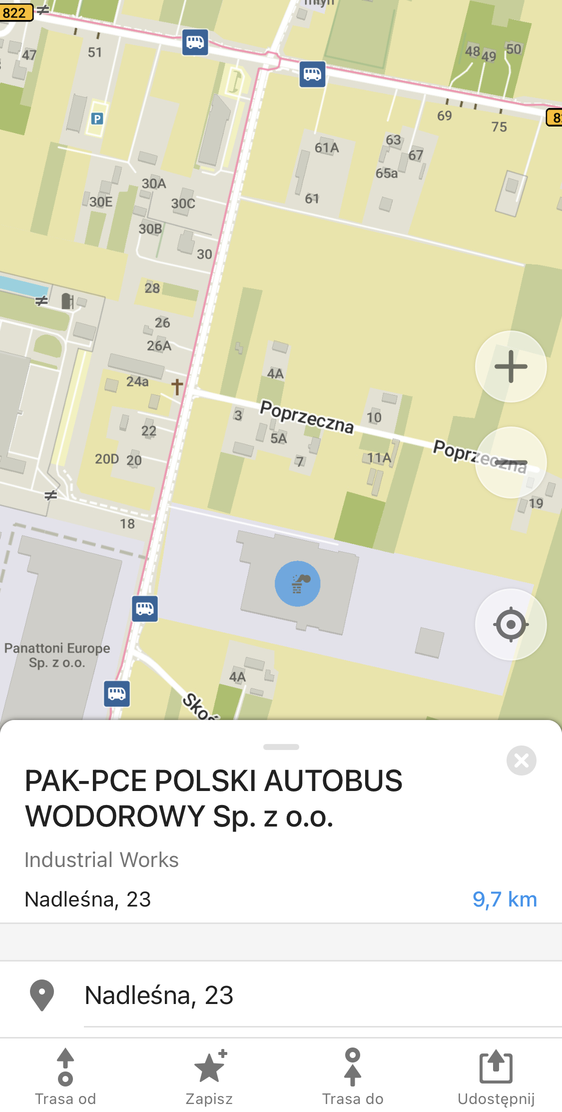
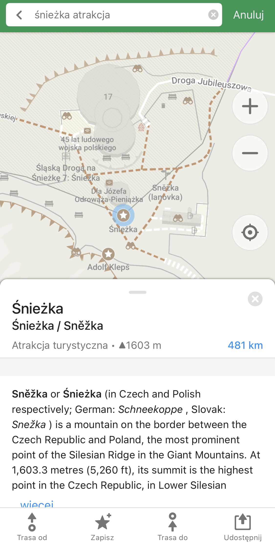
Organic Maps impresses me primarily in two situations. The first is when I need to find a specific block in a very crowded housing estate. The block markings are very clear and precise. The second aspect is the reliable marking of mountain trails and, more importantly for me, paths in the forest, which have never let me down and are available even for very unpopular areas. Interestingly, on these paths, you can set a regular route from point A to B (with possible stops) and start navigation on it.
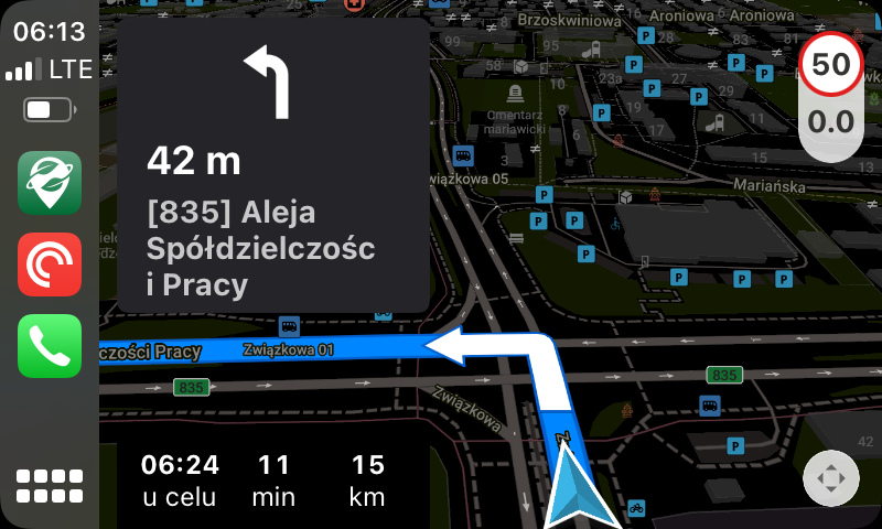
Over the past few days, I’ve been testing Organic Maps as the primary map on CarPlay and I have the following observations.
Advantages
-
It works :)
-
Available light and dark modes (automatic switching can be set)
-
Location search works (keyboard) even while driving (for example, for Google Maps, there’s a message not to use the display while driving, but what about when a passenger enters an address?)
-
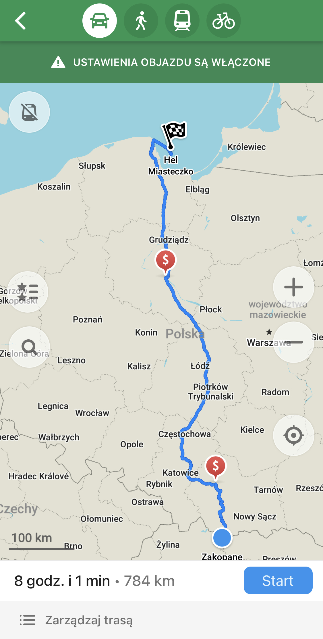
Full navigation functionality with voice prompts in various languages
-
Displays the speed limit on the road we’re traveling on (the data is really accurate and updated quickly, which can’t be said for, for instance, Apple Maps)
Disadvantages
-
Can only be used in full-screen mode (no option to display the map only on half of the screen, as is the case with other navigations like Apple Maps, Google Maps, or Waze)
-
Sometimes switches to dark mode during the day without reason
-
The app doesn’t appear in the left section of recently used apps (partly connected to the fact that it only works in full-screen mode)